
Hughes County topographic map
Interactive map
Click on the map to display elevation.
About this map
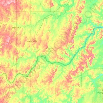
Name: Hughes County topographic map, elevation, terrain.
Location: Hughes County, Oklahoma, USA (34.76843 -96.49610 35.29021 -95.98085)
Average elevation: 252 m
Minimum elevation: 190 m
Maximum elevation: 346 m
Other topographic maps
Click on a map to view its topography, its elevation and its terrain.