
Ugwunagbo topographic map
Interactive map
Click on the map to display elevation.
About this map
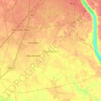
Name: Ugwunagbo topographic map, elevation, terrain.
Location: Ugwunagbo, Abia, Nigeria (4.96899 7.29077 5.07748 7.42019)
Average elevation: 47 m
Minimum elevation: 14 m
Maximum elevation: 61 m
Other topographic maps
Click on a map to view its topography, its elevation and its terrain.