
Athabasca Glacier topographic map
Interactive map
Click on the map to display elevation.
About this map
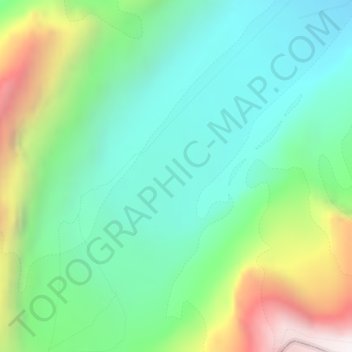
Name: Athabasca Glacier topographic map, elevation, terrain.
Location: Athabasca Glacier, Alberta, Canada (52.18759 -117.25894 52.18769 -117.25884)
Average elevation: 2,483 m
Minimum elevation: 2,076 m
Maximum elevation: 3,408 m
Other topographic maps
Click on a map to view its topography, its elevation and its terrain.