
Brazeau County topographic map
Interactive map
Click on the map to display elevation.
About this map
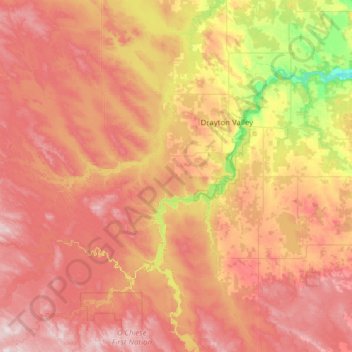
Name: Brazeau County topographic map, elevation, terrain.
Location: Brazeau County, Alberta, Canada (52.84329 -115.61087 53.36703 -114.36729)
Average elevation: 910 m
Minimum elevation: 683 m
Maximum elevation: 1,139 m
Other topographic maps
Click on a map to view its topography, its elevation and its terrain.