Thank you for supporting this site ❤️
Make a donation
Make a donation
Setúbal topographic maps
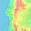
Click on a map to view its topography, its elevation and its terrain.
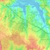
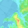
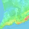
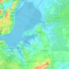
Seixal
Although the municipal population continued to grow with development, after the 1970s there was a boom in the population, due to improvements in accessibility and mobility, principally due to public transport, its location to Lisbon and installation of economic activities within the territory. This growth…
Average elevation: 38 m
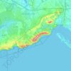
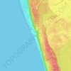
Nature Park of Arrábida
This group is oriented east-northeast to west-southwest, covering an area of about 35 kilometres (22 mi) long and 6 kilometres (3.7 mi) wide, and reaching 501 metres (1,644 ft) at its highest altitude as a result of the Formosinho anticline. Arrábida was formed from four successive phases of rifting that…
Average elevation: 45 m
Thank you for supporting this site ❤️
Make a donation
Make a donation
Thank you for supporting this site ❤️
Make a donation
Make a donation
Thank you for supporting this site ❤️
Make a donation
Make a donation