
Villa Serrana topographic map
Interactive map
Click on the map to display elevation.
About this map
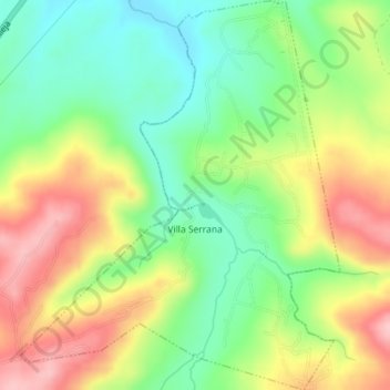
Name: Villa Serrana topographic map, elevation, terrain.
Location: Villa Serrana, Lavalleja, 30000, Uruguay (-34.33457 -55.00546 -34.30508 -54.97603)
Average elevation: 252 m
Minimum elevation: 180 m
Maximum elevation: 343 m
Other topographic maps
Click on a map to view its topography, its elevation and its terrain.