
Minas topographic map
Interactive map
Click on the map to display elevation.
About this map
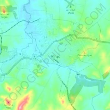
Name: Minas topographic map, elevation, terrain.
Location: Minas, Lavalleja, 30000, Uruguay (-34.40351 -55.28595 -34.34952 -55.20480)
Average elevation: 150 m
Minimum elevation: 111 m
Maximum elevation: 294 m
Other topographic maps
Click on a map to view its topography, its elevation and its terrain.
Salto del Penitente
Salto del Penitente, Lavalleja, Uruguay
Average elevation: 257 m