
Make a donation
Multnomah Falls topographic map
Click on the map to display elevation.
Make a donation
Multnomah Falls
The falls drops in two major steps, split into an upper falls of 542 feet (165 m) and a lower falls of 69 feet (21 m), with a gradual 9 foot (3 m) drop in elevation between the two, so the total height of the waterfall is conventionally given as 620 feet (189 m). The two drops are due to a zone of more easily eroded basalt at the base of the upper falls.
Make a donation
About this map
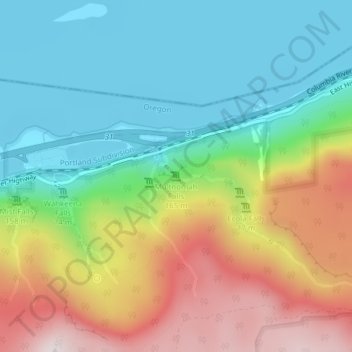
Name: Multnomah Falls topographic map, elevation, terrain.
Average elevation: 270 m
Minimum elevation: 0 m
Maximum elevation: 741 m
Make a donation
Other topographic maps
Click on a map to view its topography, its elevation and its terrain.
Make a donation
Forest Park
United States > Oregon > Multnomah County > Portland
Solidified lava from Grande Ronde members of the Columbia River Basalt Group underlie Forest Park. About 16 million years ago during the Middle Miocene, the Columbia River ran through a lowland south of its modern channel. Eruptions from linear vents in eastern Oregon and Washington flowed down this channel…
Average elevation: 91 m
Duck Lake Willamette River Greenway
United States > Oregon > Multnomah County > Scappoose
Average elevation: 52 m
Make a donation
Make a donation
Make a donation
Make a donation
Make a donation