
Sant Vicenç de Castellet topographic map
Interactive map
Click on the map to display elevation.
About this map
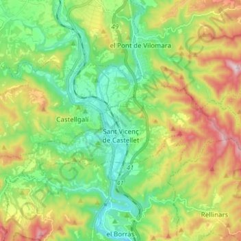
Name: Sant Vicenç de Castellet topographic map, elevation, terrain.
Location: Sant Vicenç de Castellet, Bages, Barcelona, Cataluña, España (41.65521 1.80953 41.69032 1.93266)
Average elevation: 303 m
Minimum elevation: 132 m
Maximum elevation: 607 m
Other topographic maps
Click on a map to view its topography, its elevation and its terrain.