
Thank you for supporting this site ❤️
Make a donation
Make a donation
Alandi topographic map
Click on the map to display elevation.
Thank you for supporting this site ❤️
Make a donation
Make a donation
About this map
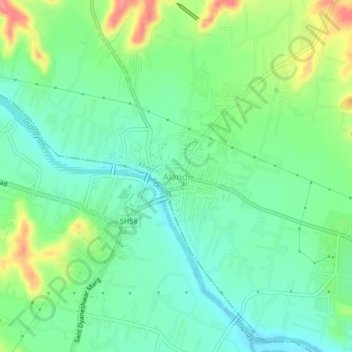
Name: Alandi topographic map, elevation, terrain.
Location: Alandi, Khed, Maharashtra, 412105, India (18.65724 73.87811 18.69724 73.91811)
Average elevation: 578 m
Minimum elevation: 552 m
Maximum elevation: 631 m
Thank you for supporting this site ❤️
Make a donation
Make a donation
Other topographic maps
Click on a map to view its topography, its elevation and its terrain.