
Thank you for supporting this site ❤️
Make a donation
Make a donation
Sharptown topographic map
Click on the map to display elevation.
Thank you for supporting this site ❤️
Make a donation
Make a donation
About this map
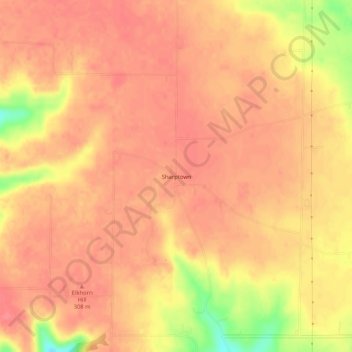
Name: Sharptown topographic map, elevation, terrain.
Location: Sharptown, Franklin County, Indiana, 47016, United States (39.34700 -84.89357 39.38700 -84.85357)
Average elevation: 298 m
Minimum elevation: 248 m
Maximum elevation: 313 m
Thank you for supporting this site ❤️
Make a donation
Make a donation
Other topographic maps
Click on a map to view its topography, its elevation and its terrain.