
Thank you for supporting this site ❤️
Make a donation
Make a donation
Mount Carmel topographic map
Click on the map to display elevation.
Thank you for supporting this site ❤️
Make a donation
Make a donation
About this map
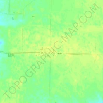
Name: Mount Carmel topographic map, elevation, terrain.
Location: Mount Carmel, Franklin County, Indiana, United States (39.40652 -84.87860 39.40892 -84.87264)
Average elevation: 307 m
Minimum elevation: 296 m
Maximum elevation: 312 m
Thank you for supporting this site ❤️
Make a donation
Make a donation
Other topographic maps
Click on a map to view its topography, its elevation and its terrain.
Thank you for supporting this site ❤️
Make a donation
Make a donation
Thank you for supporting this site ❤️
Make a donation
Make a donation