
San Antonio de Paguancay topographic map
Interactive map
Click on the map to display elevation.
About this map
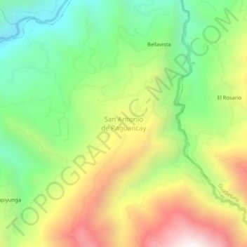
Name: San Antonio de Paguancay topographic map, elevation, terrain.
Location: San Antonio de Paguancay, San Antonio, Cañar, Ecuador (-2.53560 -79.20844 -2.49560 -79.16844)
Average elevation: 1,273 m
Minimum elevation: 704 m
Maximum elevation: 2,052 m
Other topographic maps
Click on a map to view its topography, its elevation and its terrain.