
坡头区 topographic map
Interactive map
Click on the map to display elevation.
About this map
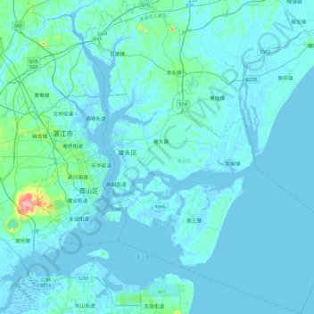
Name: 坡头区 topographic map, elevation, terrain.
Location: 坡头区, 湛江市, 广东省, 中国 (21.02240 110.38268 21.45713 110.76227)
Average elevation: 9 m
Minimum elevation: -4 m
Maximum elevation: 155 m
Other topographic maps
Click on a map to view its topography, its elevation and its terrain.