
Thank you for supporting this site ❤️
Make a donation
Make a donation
Aiyedade topographic map
Click on the map to display elevation.
Thank you for supporting this site ❤️
Make a donation
Make a donation
About this map
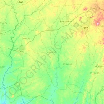
Name: Aiyedade topographic map, elevation, terrain.
Location: Aiyedade, Osun State, Nigeria (7.04507 4.07069 7.64301 4.52718)
Average elevation: 206 m
Minimum elevation: 68 m
Maximum elevation: 620 m
Thank you for supporting this site ❤️
Make a donation
Make a donation
Other topographic maps
Click on a map to view its topography, its elevation and its terrain.