
Tranqueras topographic map
Interactive map
Click on the map to display elevation.
About this map
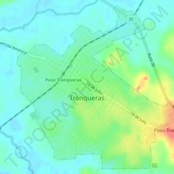
Name: Tranqueras topographic map, elevation, terrain.
Location: Tranqueras, Rivera, 40100, Uruguay (-31.20579 -55.77848 -31.17866 -55.74482)
Average elevation: 156 m
Minimum elevation: 140 m
Maximum elevation: 197 m
Other topographic maps
Click on a map to view its topography, its elevation and its terrain.