
Thank you for supporting this site ❤️
Make a donation
Make a donation
Andersonville topographic map
Click on the map to display elevation.
Thank you for supporting this site ❤️
Make a donation
Make a donation
About this map
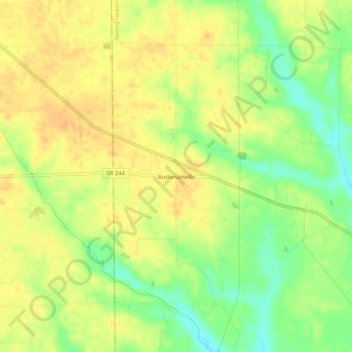
Name: Andersonville topographic map, elevation, terrain.
Location: Andersonville, Franklin County, Indiana, United States (39.47755 -85.30885 39.51755 -85.26885)
Average elevation: 317 m
Minimum elevation: 295 m
Maximum elevation: 330 m
Thank you for supporting this site ❤️
Make a donation
Make a donation
Other topographic maps
Click on a map to view its topography, its elevation and its terrain.