
Lower Uele topographic map
Interactive map
Click on the map to display elevation.
About this map
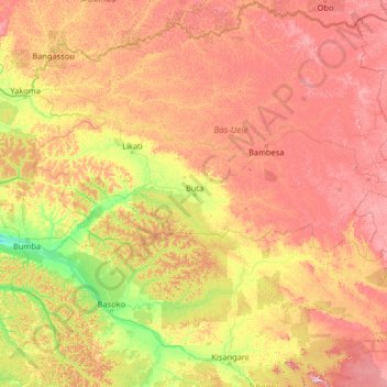
Name: Lower Uele topographic map, elevation, terrain.
Location: Lower Uele, Democratic Republic of the Congo (0.20341 22.11474 5.40341 27.31474)
Average elevation: 528 m
Minimum elevation: 343 m
Maximum elevation: 938 m
Other topographic maps
Click on a map to view its topography, its elevation and its terrain.