
Abeokuta South topographic map
Interactive map
Click on the map to display elevation.
About this map
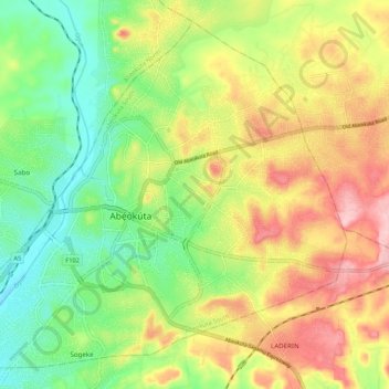
Name: Abeokuta South topographic map, elevation, terrain.
Location: Abeokuta South, Ogun State, 111101, Nigeria (7.11284 3.29913 7.20802 3.40649)
Average elevation: 97 m
Minimum elevation: 16 m
Maximum elevation: 200 m
Other topographic maps
Click on a map to view its topography, its elevation and its terrain.