
Thank you for supporting this site ❤️
Make a donation
Make a donation
Orolu topographic map
Click on the map to display elevation.
Thank you for supporting this site ❤️
Make a donation
Make a donation
About this map
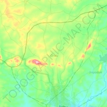
Name: Orolu topographic map, elevation, terrain.
Location: Orolu, Osun State, Nigeria (7.84050 4.42821 7.96903 4.52262)
Average elevation: 363 m
Minimum elevation: 294 m
Maximum elevation: 516 m
Thank you for supporting this site ❤️
Make a donation
Make a donation
Other topographic maps
Click on a map to view its topography, its elevation and its terrain.