
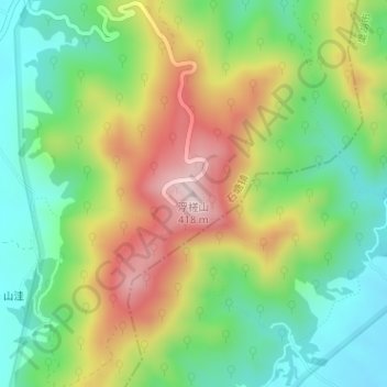
浮槎山 topographic map
Interactive map
Click on the map to display elevation.
About this map
Name: 浮槎山 topographic map, elevation, terrain.
Location: 浮槎山, 合肥市, 安徽省, 中国 (31.84882 117.65746 31.84892 117.65756)
Average elevation: 205 m
Minimum elevation: 65 m
Maximum elevation: 411 m
Other topographic maps
Click on a map to view its topography, its elevation and its terrain.