
窑山 topographic map
Interactive map
Click on the map to display elevation.
About this map
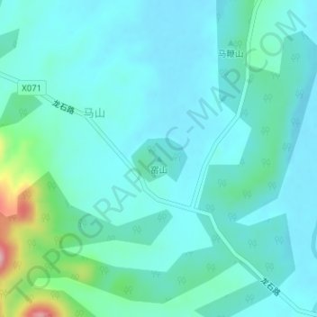
Name: 窑山 topographic map, elevation, terrain.
Location: 窑山, 合肥市, 安徽省, 中国 (31.12180 117.47826 31.12190 117.47836)
Average elevation: 35 m
Minimum elevation: 5 m
Maximum elevation: 185 m
Other topographic maps
Click on a map to view its topography, its elevation and its terrain.