
Thank you for supporting this site ❤️
Make a donation
Make a donation
Skärvgöl topographic map
Click on the map to display elevation.
Thank you for supporting this site ❤️
Make a donation
Make a donation
About this map
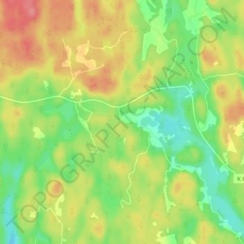
Name: Skärvgöl topographic map, elevation, terrain.
Location: Skärvgöl, Ronneby kommun, Blekinge County, 370 11, Sweden (56.32540 15.20857 56.36540 15.24857)
Average elevation: 88 m
Minimum elevation: 52 m
Maximum elevation: 127 m
Thank you for supporting this site ❤️
Make a donation
Make a donation
Other topographic maps
Click on a map to view its topography, its elevation and its terrain.