
Thank you for supporting this site ❤️
Make a donation
Make a donation
Kumi topographic map
Click on the map to display elevation.
Thank you for supporting this site ❤️
Make a donation
Make a donation
About this map
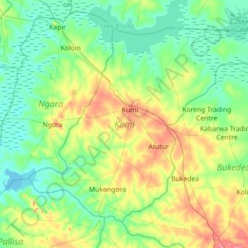
Name: Kumi topographic map, elevation, terrain.
Location: Kumi, Eastern Region, Uganda (1.25928 33.72760 1.65377 34.22876)
Average elevation: 1,078 m
Minimum elevation: 1,033 m
Maximum elevation: 1,218 m
Thank you for supporting this site ❤️
Make a donation
Make a donation
Other topographic maps
Click on a map to view its topography, its elevation and its terrain.