
Thank you for supporting this site ❤️
Make a donation
Make a donation
Jos North topographic map
Click on the map to display elevation.
Thank you for supporting this site ❤️
Make a donation
Make a donation
About this map
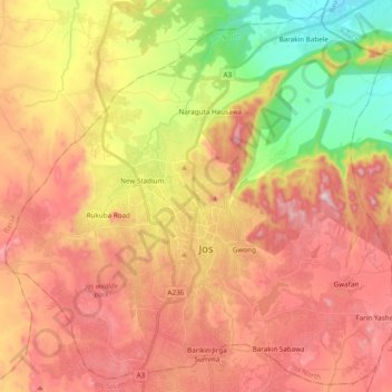
Name: Jos North topographic map, elevation, terrain.
Location: Jos North, Plateau State, Nigeria (9.85136 8.79957 10.03376 8.99162)
Average elevation: 1,184 m
Minimum elevation: 873 m
Maximum elevation: 1,448 m
Thank you for supporting this site ❤️
Make a donation
Make a donation
Other topographic maps
Click on a map to view its topography, its elevation and its terrain.