
Mount Rogers topographic map
Interactive map
Click on the map to display elevation.
About this map
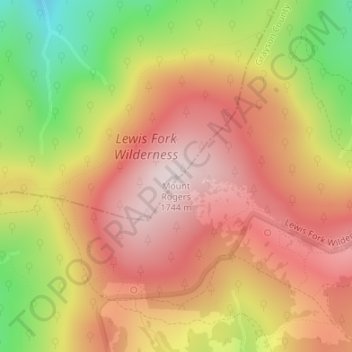
Name: Mount Rogers topographic map, elevation, terrain.
Location: Mount Rogers, Smyth County, Virginia, USA (36.65979 -81.54461 36.65989 -81.54451)
Average elevation: 1,507 m
Minimum elevation: 1,180 m
Maximum elevation: 1,732 m
Other topographic maps
Click on a map to view its topography, its elevation and its terrain.