
Thank you for supporting this site ❤️
Make a donation
Make a donation
Walford topographic map
Click on the map to display elevation.
Thank you for supporting this site ❤️
Make a donation
Make a donation
About this map
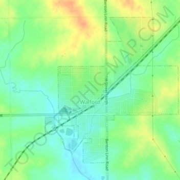
Name: Walford topographic map, elevation, terrain.
Location: Walford, Benton County, Iowa, 52351, United States (41.86905 -91.84399 41.89094 -91.81710)
Average elevation: 251 m
Minimum elevation: 234 m
Maximum elevation: 272 m
Thank you for supporting this site ❤️
Make a donation
Make a donation
Other topographic maps
Click on a map to view its topography, its elevation and its terrain.