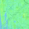
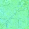
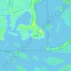
Marco Island topographic map
Click on the map to display elevation.
Marco Island
Parts of the island have some scenic, high elevations relative to the generally flat south Florida landscape. The island has a tropical climate; specifically a tropical wet and dry or savanna type (Aw under the Köppen system). It is known for its distinct wet and dry seasons, with most of the rainfall falling between the months of June and October.
About this map
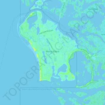
Name: Marco Island topographic map, elevation, terrain.
Location: Marco Island, Collier County, Florida, 34145, United States (25.89523 -81.75719 25.97530 -81.64822)
Average elevation: 2 m
Minimum elevation: -3 m
Maximum elevation: 24 m
Other topographic maps
Click on a map to view its topography, its elevation and its terrain.