
Lewis and Harris topographic map
Interactive map
Click on the map to display elevation.
About this map
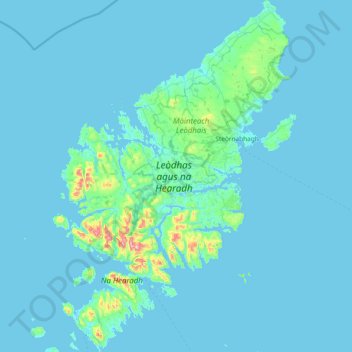
Name: Lewis and Harris topographic map, elevation, terrain.
Location: Lewis and Harris, Western Isles, Scotland, United Kingdom (57.72772 -7.13587 58.51677 -6.13563)
Average elevation: 28 m
Minimum elevation: -2 m
Maximum elevation: 787 m
Other topographic maps
Click on a map to view its topography, its elevation and its terrain.