
Thank you for supporting this site ❤️
Make a donation
Make a donation
Norman Park topographic map
Click on the map to display elevation.
Thank you for supporting this site ❤️
Make a donation
Make a donation
About this map
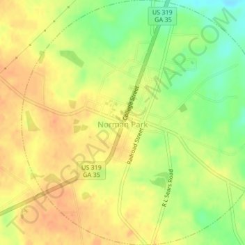
Name: Norman Park topographic map, elevation, terrain.
Location: Norman Park, Colquitt County, Georgia, United States (31.25477 -83.70115 31.28382 -83.66728)
Average elevation: 100 m
Minimum elevation: 75 m
Maximum elevation: 115 m
Thank you for supporting this site ❤️
Make a donation
Make a donation
Other topographic maps
Click on a map to view its topography, its elevation and its terrain.