
Make a donation
Mporokoso topographic map
Click on the map to display elevation.
Make a donation
Mporokoso
Mporokoso (also spelled and pronounced 'Mpolokoso' and 'Mumpolokoso') is a town in the Northern Province of Zambia, lying at an elevation of nearly 1500 m on the flat plateau about 75 km south east of Lake Mweru Wantipa and 100 km south-west of Lake Tanganyika. It is named for Chief Mporokoso (also spelled 'Mumpolokoso') a senior chief of the Bemba people whose palace is located at Chishamwamba close to the town. Mporokoso District is also one of the 12 administrative districts of the Northern Province.
Make a donation
About this map
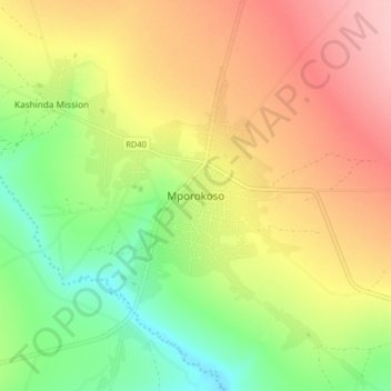
Name: Mporokoso topographic map, elevation, terrain.
Location: Mporokoso, Mporokoso District, Northern Province, Zambia (-9.41058 30.08189 -9.33058 30.16189)
Average elevation: 1,439 m
Minimum elevation: 1,364 m
Maximum elevation: 1,518 m
Make a donation
Other topographic maps
Click on a map to view its topography, its elevation and its terrain.