
Thank you for supporting this site ❤️
Make a donation
Make a donation
Platte Lake topographic map
Click on the map to display elevation.
Thank you for supporting this site ❤️
Make a donation
Make a donation
About this map
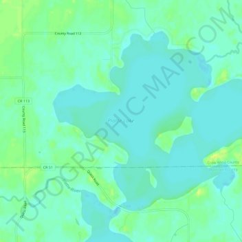
Name: Platte Lake topographic map, elevation, terrain.
Location: Platte Lake, Crow Wing County, Minnesota, United States (46.14955 -93.95091 46.17858 -93.89458)
Average elevation: 384 m
Minimum elevation: 378 m
Maximum elevation: 393 m
Thank you for supporting this site ❤️
Make a donation
Make a donation
Other topographic maps
Click on a map to view its topography, its elevation and its terrain.