
Kings Peak topographic map
Interactive map
Click on the map to display elevation.
About this map
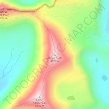
Name: Kings Peak topographic map, elevation, terrain.
Location: Kings Peak, Duchesne County, Utah, USA (40.77632 -110.37298 40.77642 -110.37288)
Average elevation: 3,741 m
Minimum elevation: 3,465 m
Maximum elevation: 4,118 m
Other topographic maps
Click on a map to view its topography, its elevation and its terrain.