
Vressel topographic map
Interactive map
Click on the map to display elevation.
About this map
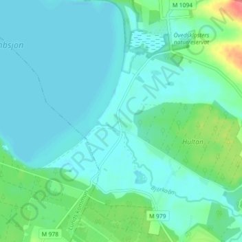
Name: Vressel topographic map, elevation, terrain.
Location: Vressel, Sjöbo kommun, Provinz Schonen, 275 39, Schweden (55.65080 13.60370 55.69080 13.64370)
Average elevation: 30 m
Minimum elevation: 17 m
Maximum elevation: 87 m
Other topographic maps
Click on a map to view its topography, its elevation and its terrain.
Vesljunga
Vesljunga, Gemeinde Osby, Provinz Schonen, 282 69, Schweden
Average elevation: 127 m