
Vesljunga topographic map
Interactive map
Click on the map to display elevation.
About this map
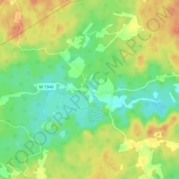
Name: Vesljunga topographic map, elevation, terrain.
Location: Vesljunga, Gemeinde Osby, Provinz Schonen, 282 69, Schweden (56.40462 13.74813 56.44462 13.78813)
Average elevation: 127 m
Minimum elevation: 107 m
Maximum elevation: 151 m
Other topographic maps
Click on a map to view its topography, its elevation and its terrain.
Vressel
Vressel, Sjöbo kommun, Provinz Schonen, 275 39, Schweden
Average elevation: 30 m