
Thank you for supporting this site ❤️
Make a donation
Make a donation
Perstorps kommun topographic map
Click on the map to display elevation.
Thank you for supporting this site ❤️
Make a donation
Make a donation
About this map
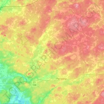
Name: Perstorps kommun topographic map, elevation, terrain.
Location: Perstorps kommun, Skåne County, Sweden (56.09494 13.26512 56.26932 13.46841)
Average elevation: 100 m
Minimum elevation: 37 m
Maximum elevation: 157 m
Thank you for supporting this site ❤️
Make a donation
Make a donation
Other topographic maps
Click on a map to view its topography, its elevation and its terrain.