
Kwajalein topographic map
Interactive map
Click on the map to display elevation.
About this map
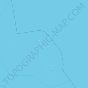
Name: Kwajalein topographic map, elevation, terrain.
Location: Kwajalein, Marshall Islands (8.40445 166.31378 10.24169 168.13598)
Average elevation: 0 m
Minimum elevation: 0 m
Maximum elevation: 18 m
Other topographic maps
Click on a map to view its topography, its elevation and its terrain.
Marshall Islands
Due to its very low elevation, the Marshall Islands are threatened by the potential effects of sea level rise. According to the president of Nauru, the Marshall Islands are the most endangered nation in the world due to flooding from climate change.
Average elevation: 0 m