
Thank you for supporting this site ❤️
Make a donation
Make a donation
Deer Park topographic map
Click on the map to display elevation.
Thank you for supporting this site ❤️
Make a donation
Make a donation
About this map
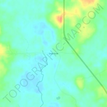
Name: Deer Park topographic map, elevation, terrain.
Location: Deer Park, Washington County, Alabama, United States (31.19684 -88.33723 31.23684 -88.29723)
Average elevation: 48 m
Minimum elevation: 36 m
Maximum elevation: 79 m
Thank you for supporting this site ❤️
Make a donation
Make a donation
Other topographic maps
Click on a map to view its topography, its elevation and its terrain.