
Thank you for supporting this site ❤️
Make a donation
Make a donation
Chatom topographic map
Click on the map to display elevation.
Thank you for supporting this site ❤️
Make a donation
Make a donation
About this map
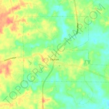
Name: Chatom topographic map, elevation, terrain.
Location: Chatom, Washington County, Alabama, 36518, United States (31.44281 -88.27859 31.49404 -88.19634)
Average elevation: 48 m
Minimum elevation: 26 m
Maximum elevation: 81 m
Thank you for supporting this site ❤️
Make a donation
Make a donation
Other topographic maps
Click on a map to view its topography, its elevation and its terrain.