
Nord-Ubangi topographic map
Interactive map
Click on the map to display elevation.
About this map
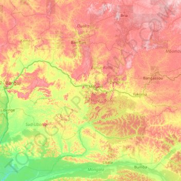
Name: Nord-Ubangi topographic map, elevation, terrain.
Location: Nord-Ubangi, Democratic Republic of the Congo (1.68494 18.43093 6.88494 23.63093)
Average elevation: 471 m
Minimum elevation: 311 m
Maximum elevation: 848 m
Other topographic maps
Click on a map to view its topography, its elevation and its terrain.