
Stalden topographic map
Interactive map
Click on the map to display elevation.
About this map
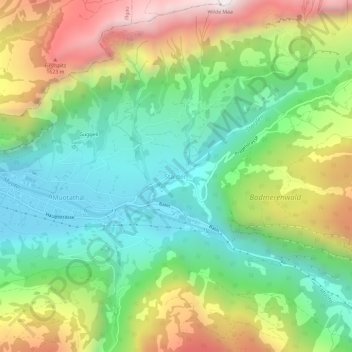
Name: Stalden topographic map, elevation, terrain.
Location: Stalden, Muotathal, Schwyz, 6436, Schweiz (46.95706 8.76373 46.99706 8.80373)
Average elevation: 1,067 m
Minimum elevation: 609 m
Maximum elevation: 1,825 m
Other topographic maps
Click on a map to view its topography, its elevation and its terrain.