
Ihitte/Uboma topographic map
Interactive map
Click on the map to display elevation.
About this map
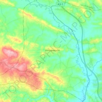
Name: Ihitte/Uboma topographic map, elevation, terrain.
Location: Ihitte/Uboma, Imo, Nigeria (5.58363 7.29907 5.71431 7.43229)
Average elevation: 100 m
Minimum elevation: 55 m
Maximum elevation: 205 m
Other topographic maps
Click on a map to view its topography, its elevation and its terrain.
Nguru
Nigeria > Imo > Aboh-Mbaise > Nguru
Nguru, Aboh-Mbaise, Imo, 462103, Nigeria
Average elevation: 128 m