
Make a donation
Manila Bay topographic map
Click on the map to display elevation.
Make a donation
About this map
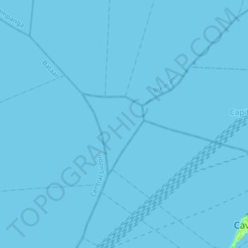
Name: Manila Bay topographic map, elevation, terrain.
Location: Manila Bay, Cavite, Calabarzon, Philippines (14.46068 120.64643 14.70535 120.89925)
Average elevation: 0 m
Minimum elevation: 0 m
Maximum elevation: 8 m
Make a donation
Other topographic maps
Click on a map to view its topography, its elevation and its terrain.
Tagaytay
It is one of the country's most popular destinations for domestic tourism because of its scenery and cooler climate provided by its altitude. Tagaytay overlooks Taal Lake in Batangas and provides views of Taal Volcano Island in the middle of the lake through various vantage points situated in the city.
Average elevation: 229 m
Make a donation
Make a donation
Make a donation
Make a donation
Make a donation
Make a donation
Make a donation
Make a donation
Make a donation
Carmona
The topography of Carmona is generally flat to strongly rolling or sloping, partly lowland and partly hill. Carmona is divided into four physiographical areas: the lowest lowland area, the lowland area, the central hilly area and the upland mountainous area.
Average elevation: 56 m
Make a donation
Make a donation
Make a donation
Make a donation
Make a donation
Make a donation
Make a donation