
Rodell topographic map
Click on the map to display elevation.
About this map
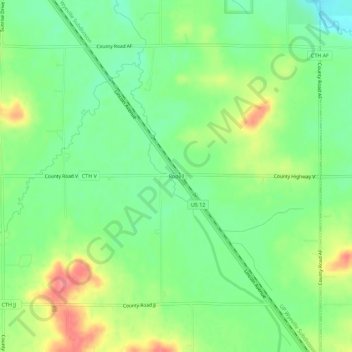
Name: Rodell topographic map, elevation, terrain.
Average elevation: 294 m
Minimum elevation: 264 m
Maximum elevation: 339 m
Other topographic maps
Click on a map to view its topography, its elevation and its terrain.
Pinehurst Park
United States > Wisconsin > Eau Claire County > Eau Claire > Pinehurst
Average elevation: 289 m