
Alfacar topographic map
Click on the map to display elevation.
About this map
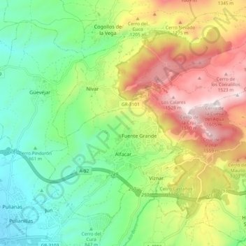
Name: Alfacar topographic map, elevation, terrain.
Average elevation: 1,043 m
Minimum elevation: 701 m
Maximum elevation: 1,585 m
Other topographic maps
Click on a map to view its topography, its elevation and its terrain.
Jardines del Triunfo
Spain > Andalusia > Comarca de la Vega de Granada > Granada
Average elevation: 719 m
Cortijo del Aire
Spain > Andalusia > Comarca de la Vega de Granada > Albolote
Average elevation: 706 m