
Thank you for supporting this site ❤️
Make a donation
Make a donation
Neahkahnie Beach topographic map
Click on the map to display elevation.
Thank you for supporting this site ❤️
Make a donation
Make a donation
About this map
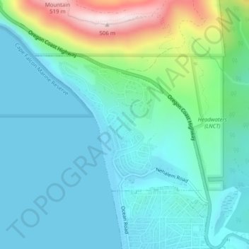
Name: Neahkahnie Beach topographic map, elevation, terrain.
Location: Neahkahnie Beach, Tillamook County, Oregon, United States (45.72506 -123.95556 45.74003 -123.92897)
Average elevation: 101 m
Minimum elevation: 0 m
Maximum elevation: 478 m
Thank you for supporting this site ❤️
Make a donation
Make a donation
Other topographic maps
Click on a map to view its topography, its elevation and its terrain.
Thank you for supporting this site ❤️
Make a donation
Make a donation
Thank you for supporting this site ❤️
Make a donation
Make a donation