
Dawakin Kudu topographic map
Interactive map
Click on the map to display elevation.
About this map
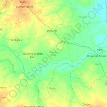
Name: Dawakin Kudu topographic map, elevation, terrain.
Location: Dawakin Kudu, Kano, Nigeria (11.65864 8.50172 11.93705 8.82071)
Average elevation: 441 m
Minimum elevation: 399 m
Maximum elevation: 543 m
Other topographic maps
Click on a map to view its topography, its elevation and its terrain.