
Sud-Ubangi topographic map
Interactive map
Click on the map to display elevation.
About this map
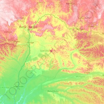
Name: Sud-Ubangi topographic map, elevation, terrain.
Location: Sud-Ubangi, Democratic Republic of the Congo (0.65595 17.14838 5.85595 22.34838)
Average elevation: 421 m
Minimum elevation: 304 m
Maximum elevation: 753 m
Other topographic maps
Click on a map to view its topography, its elevation and its terrain.