
Aguni topographic map
Interactive map
Click on the map to display elevation.
About this map
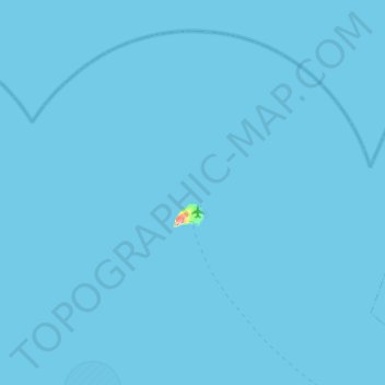
Name: Aguni topographic map, elevation, terrain.
Location: Aguni, Shimajiri, Okinawa Prefecture, Japan (26.42712 127.01778 26.80188 127.51460)
Average elevation: 0 m
Minimum elevation: 0 m
Maximum elevation: 95 m
Other topographic maps
Click on a map to view its topography, its elevation and its terrain.