
Gifford topographic map
Interactive map
Click on the map to display elevation.
About this map
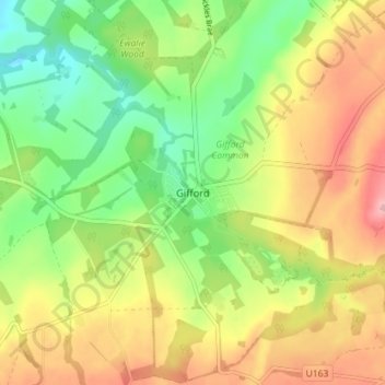
Name: Gifford topographic map, elevation, terrain.
Location: Gifford, East Lothian, Scotland, EH41 4QX, United Kingdom (55.88300 -2.76720 55.92300 -2.72720)
Average elevation: 142 m
Minimum elevation: 76 m
Maximum elevation: 219 m